We’re happy to announce that we have partnered with SkyVector to provide aeronautical charts for our users worldwide. SkyVector’s charts are well known by pilots around the globe for their accuracy, quality and speed.
It would be the first AirVenture in which I will not have to go “umm, no international charts yet” to our Canadian users, European users or our pilot friends from down under. Next week in Oshkosh we will be showing the charts in our booth! They are now in beta, and will be released soon.
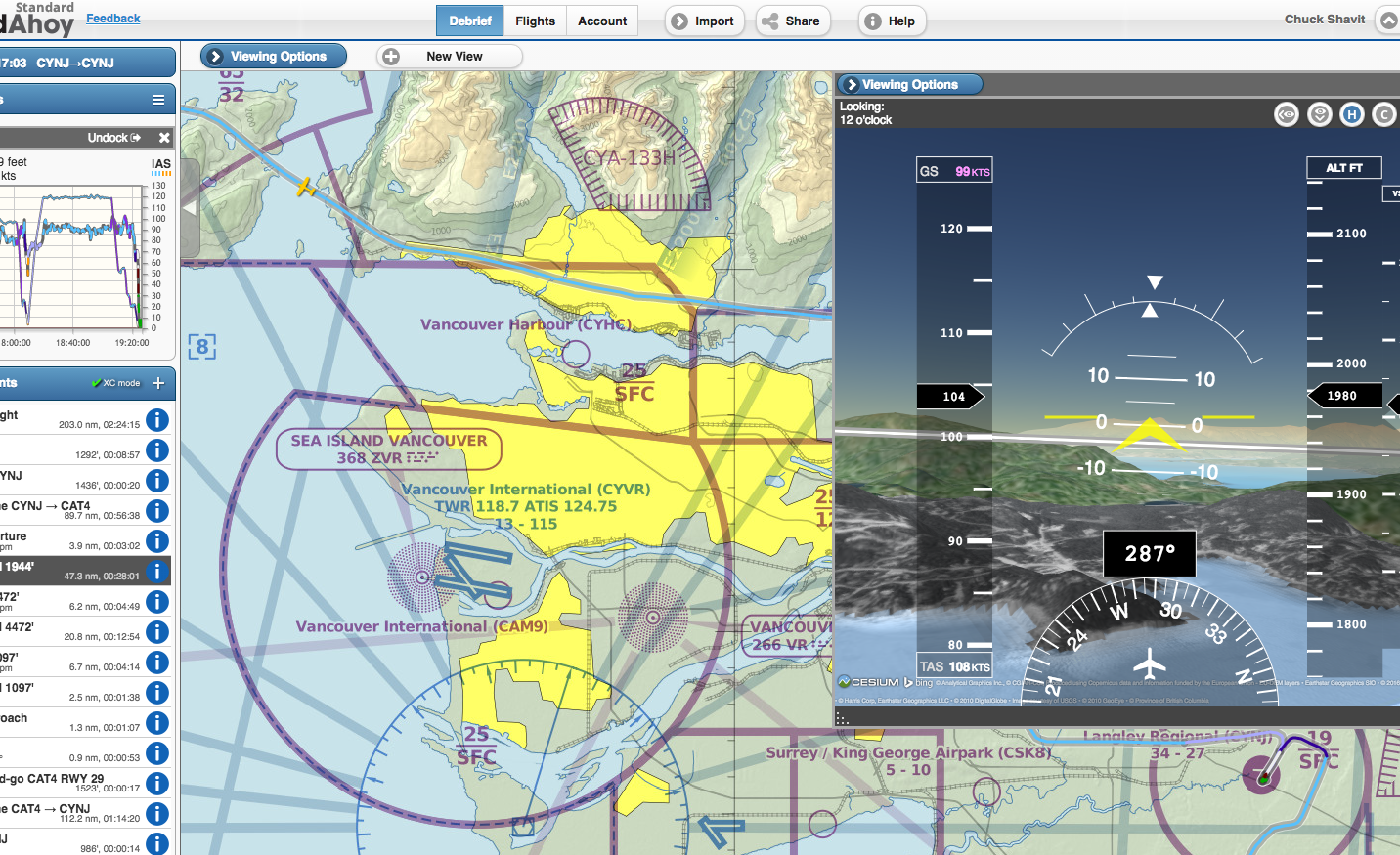
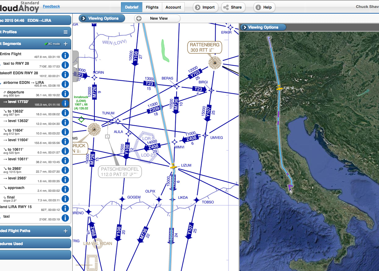
The VFR, IF-Lo, IFR-Hi charts are available in 2D-track, 3D-track and 3D-cockpit modes.
What’s in it: U.S. Pilots
Higher quality, faster,
Addition of IFR-Hi
Covers the entire globe, not only your flight path.
What’s in it: non-U.S. Pilots
VFR, IFR-Lo, IFR-Hi for your country,
Updated and accurate.
VFR flight near Vancouver, Canada
IFR flight over the Swiss Alps from Nuremberg to Rome


…………….over the austrian alps probably
I don’t get the option to view IFR-Lo or IFR-Hi, it’s just the same Lo charts for the US that were always there?
Hi Noel. This feature is still in beta testing. We will release it for everybody after completing the beta testing.
Pingback: Debriefing : une ‘app’ | LF5422's Blog
Hello
Nice to read that CloudAhoy is becoming international.
Can you let me know when the solution will become operational.
Thank you
Gilles (France)
Gilles, yes – we will notify everybody when the charts are released.
Hi there. Like Gilles, I’m really looking forward to the implementation of VFR charts for the rest of the world (UK in my case). Any news on how soon we can expect this?
Many thanks,
James.
Hi James,
It’s coming. Can’t give an exact ETA though.
Many thanks for the quick reply and update. Eagerly awaiting its arrival!
James
Hi!
Is there intl charts available now? Are the beta phase completed?
Looking forward to use it in Chile!
Hi Carlos. Our CloudAhoy 5.0 release date is very close. Chile charts coming very soon 🙂
Thanks. i’ve using CloudAhoy for almost a year in free mode, but want use now the paid version in order to use all features. Being able to use charts for Chile will be a must in order to get max value for the system! Can’t wait for next version!
Looking forwards to get news from you soon
Regards,
https://blog.cloudahoy.com/2016/07/21/skyvector-will-provide-cloudahoy-charts-worldwide/
Exactly what is needed to get this 3d terrain view (as shown in the screen shot in the above link) ? I want this for the Guam Sectional. I am learning to fly out of PGUM. thanks
RMM
Hi RMM. The SkyVector VFR charts in CloudAhoy cover Guam as well.
So this means the necessary terrain data is there as well, so the full synthetic vision in 3D is shown as depicted? Sorry to press, but details matter. Just checking for completeness of understanding. thanks
Yes to all.